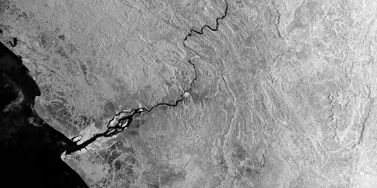
NASA and the French space agency CNES plan to launch a satellite with the Ka-band sensor in late 2022 as part of a joint mission called Surface Water and Ocean Topography (SWOT), with help from the Canadian and UK space agencies. Along with oceans, the SUV-size satellite will observe the planet’s lakes, rivers, and reservoirs during its 21-day repeating orbit.
“We’re going to have access to global information on surface waters in a way that we never had before,” says Cédric David, a hydrologist at the Jet Propulsion Laboratory. Scientists will be able to observe changes in the amount of water stored on Earth’s surface and estimate how much water flows through river systems.
Researchers like Kitambo say SWOT’s observations will increase the accuracy and quality of their numerical models, which simulate and predict how water swells, drains, and flows over time. Specifically, scientists can use SWOT data to calculate daily discharge—or the volume of water flowing through channels—from the Congo’s major tributaries and within the rainforest at the basin’s center. This will help them understand the development of seasonal floods, which affect everything from fishing and agriculture to wildlife habitats and human safety.
David notes that along with other similar projects, the new mission will give NASA eyes on nearly every part of Earth’s water cycle, including oceans, soil moisture, groundwater, ice sheets, and now surface water. “Many of us are calling this the golden age of water cycle observations from space,” he says.
Maria Gallucci is an energy and environment reporter based in Brooklyn, New York.